
Trailhead: Echo Summit Trailhead
Loop: Tahoe Rim Trail (TRT): Big Meadow to Echo Summit Loop* (found via AllTrails)
Distance: 19.5 Miles (1-2 nights depending on your abilities)
Time of Year: Summer (Beginning of August) *COVID
Traffic: Medium (mostly on the PCT stretch) *COVID
Maps: AllTrails (Downloaded)
Trail Background
Tahoe Rim Trail: What’s it all about? Check out the TRTA info here.
The Tahoe Rim Trail has a long history, starting from the 1860’s and you can read about it on the trail’s website. In the 80’s, Glen Hampton envisioned a loop around Lake Tahoe. After 17 years, his vision was mostly complete and the trail itself was open. A few years later, they added mileage and it is now a 165 mile thru-hike.
This trail also merges with the PCT for ~10 miles.
Trail Note:
We decided to do the trail in one night. We planned on having a 2 night backpacking trip and then decided to push ourselves 5 miles in. We made it in less than 24 hours, but I wouldn’t recommend doing that if you are not prepared and/or did not acclimate to the altitude (from someone who is affected by altitude).
The Loop:
Start/End Point: Echo Summit Trailhead
We chose to work our way in the opposite direction than listed on the trail map. After the hike, I would recommend following the direction of the map, since there was a steep climb at the end up to the summit.
The map shows a random dot for parking. You can park there, but I would recommend parking in the TRT ECHO SUMMIT TRAILHEAD (ADVENTURE MOUNTAIN SNO-PARK). This was an actual parking lot. You do have to pay a fee, though.
Mile ~2-3: (Night one- and it turned out to be our only night!)
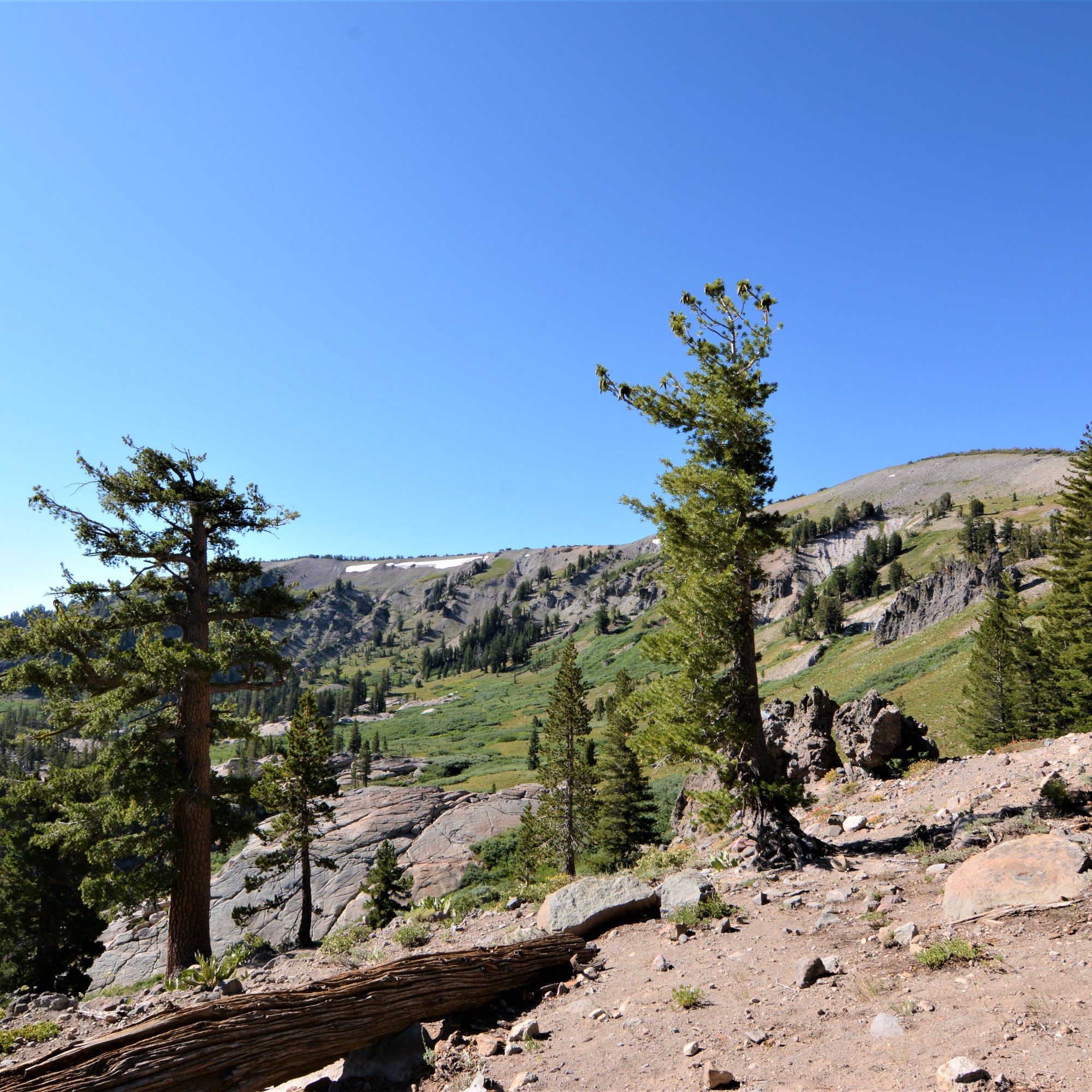
I don’t have any “markers” for most of our mileage. We started the hike around 4-5 PM on a Saturday evening. We drove from the bay area to Tahoe, which is about a 3 hour trip. As we traveled up to the summit, many people were going in the opposite direction. We mostly saw Northbound PCT hikers. There were beautiful views of Lake Tahoe once we started our climb.
We found a rugged spot to camp for the night. One thing I will note is the lack of water on the summit stretch.

Mile ~3-8:
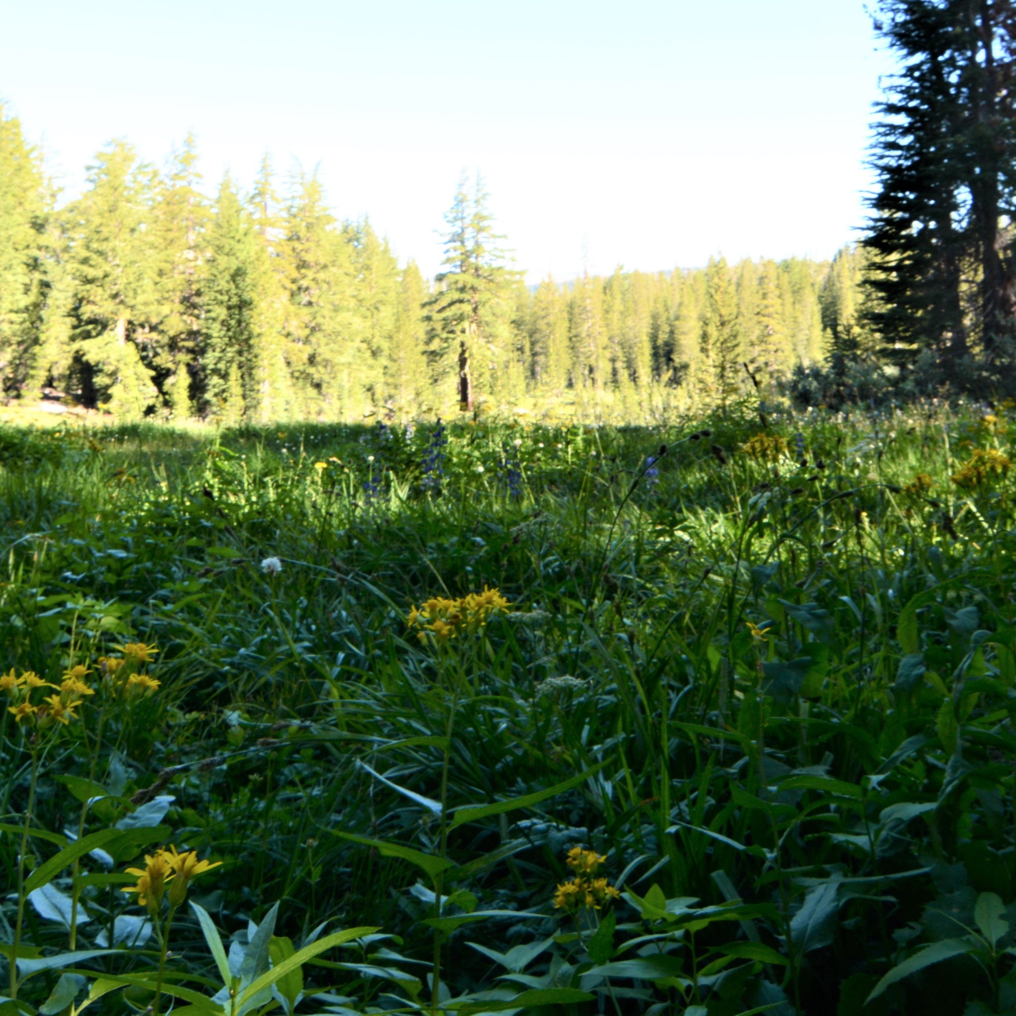
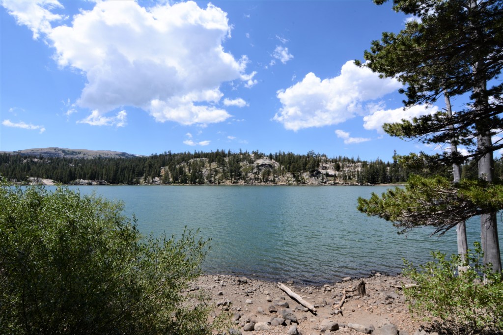
We woke up the next morning and traveled a bit up the summit before it descended southbound. It was a beautiful day and a beautiful hike. There were views and lush green grass when we fully descended. At around 8 miles, we came across Showers Lake. This is where we saw the majority of people who most likely made the day trip there from the Big Meadow Trailhead. It was the perfect spot to relax and picnic.


Mile ~10: PCT and Tahoe Rim Trail Junction
We were fully in the gorgeous meadow at this point and this is where the PCT and the TRT officially cut ties. We kept moving on our loop and observed from a distance the PCT hikers who were gathering for an afternoon break. We stopped a bit before this so my partner could fish and I could take a coffee/lunch break.

Mile ~12: Round Lake
At mile 12, you will see Round Lake. It’s a fairly large lake and would make a great day trip. There is a plenty of shore and camping spots around it. By this time, we were running into mountain bikers, but after the junction, we saw less and less people.
Mile ~14-15: Meiss Meadow and Big Meadow Trailhead
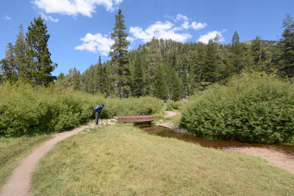
For about a mile, we walked through Meiss Meadow- it was a beautiful, open meadow. This meadow reminded me of meadows in Yellowstone National Park.
At mile 15, we were excited to reach the trailhead. Our journey wasn’t complete, but it was close enough for us. We took a quick break and moved on- to the trickiest part of the hike.

Mile ~15-17.5: Old Luther Pass Highway/ S. Upper Truckee Road (Names might be different- these are what were listed on AllTrails)
We crossed Highway 89 twice. The first time from the trailhead to the restroom center. We passed the restroom and walked the road into Luther Pass Campground. We crossed through it and were met with Highway 89 again, where we crossed and headed down this random road. I say “random” because we truly felt lost even though our map was saying we were doing it right.
We eventually saw people, the river, and a place where people were clearly parking to recreate. This made us feel better- except for one thing. We looked up, where the top of the highway began it’s descend into Tahoe. I pointed upward and said “the car is up there.”
Mile ~17.5: Hawley Grade National Recreation Trail
This trail is hidden if you don’t know where to look. We wandered around aimlessly to find it. We were even offered a ride by this older woman we came across. We pressed on up the steep grade (used by mountain bikers- be aware!) for our last mile and a half. At this point in time, I was suffering from altitude sickness. I moved slow and tried to enjoy the view- let’s face it, we were still in “Tahoe!” Let’s just say, I was miserable. I wasn’t even happy when we reached the top.
Echo Summit
Once we were at the top, we had to backtrack on the highway for a bit to reach our car. This is the point where I would suggest to do the grade first, going downward. The hike was beautiful and it would have been nice to end it at our car and not spending the last 5 miles road walking.
Note: all mileage is approximate. I apologize for the lack of photos, as we were moving at a quicker pace.

Leave a comment