
5.3.25
This was a usual Saturday morning for me: wake up too early, brew coffee, and enjoy the view of Roxy Ann Peak through my living room window. Today was no different, except there was a hue of grey across the sky.
The sun was hiding but I still had the energy you feel when it’s a sunny day ahead- the drive to do something, go somewhere. I grabbed my daypack, water, Garmin, all the other essentials and loaded up into the car.
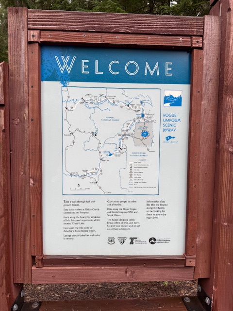
Over an hour away is what we call the Waterfall Highway in Oregon. The scenic byway starts near where I live, passes a handful of favorite local spots then puts you within easy access to a handful of these well-loved Oregon staples. Sometimes the only reason people travel here in the first place.
My first experience with this section of the highway was early summer- the fourth of July. The normal crowds, warm weather, and not-so-great photography conditions in the afternoon sun. A rush to beat the heat and check it off of your to-see list. This time would be different.
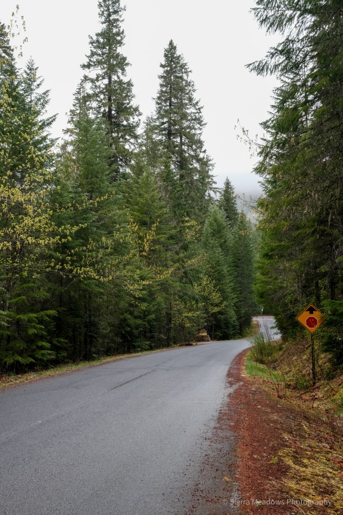
As I climbed in elevation, the weather was changing from overcast to rainy with snow-covered meadows on both sides. I passed the familiar spots. As time slowed and the unfamiliar took over, highway 138 appeared and I turned left.
Waterfall #1
Roughly 12 miles later, there was the first turn to the left- Clearwater Falls. I made the turn, not remembering it exactly from the previous summer. It was a forest service road. Even though it was mid-morning, the road gave me this eerie-almost nightfall vibe. It was a quick turn that ended in a wide parking lot with only me around.
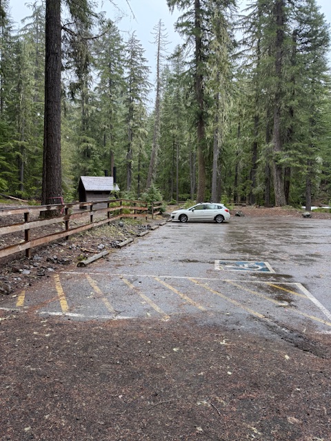
Thankfully, the glimpses of the waterfall could be seen from the parking lot, so it was a short walk to the viewing area.
It started sprinkling, adding to my unease. I quickly walked up the trail, snapped a few photos and got back in the car. Safe. Ready for the next adventure.

Waterfall #2
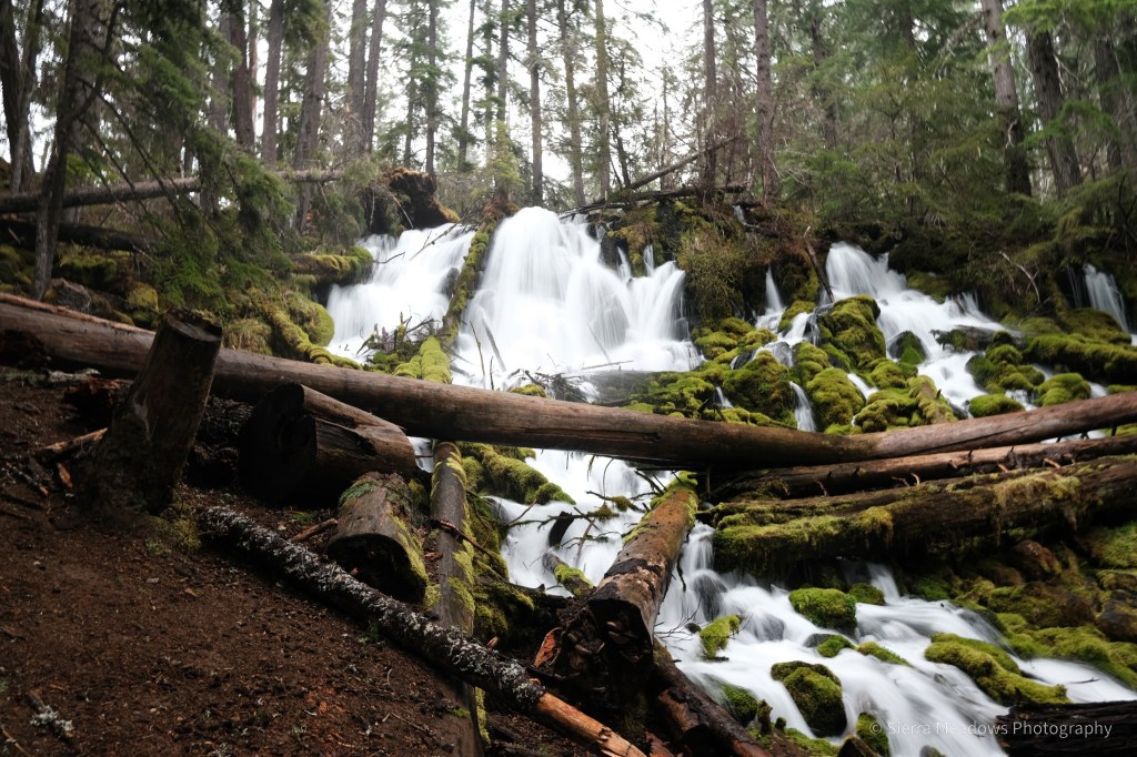
I barely saw anyone on the drive up, but a caravan of camper vans told me that was going to change. The next turn to Watson Falls already had a van pulling onto the highway. I sighed, relieved. It’s been a second since I solo traveled- even an hour from home.
The parking lot was wider with anticipation for more visitors. Right after I parked, so did another car.
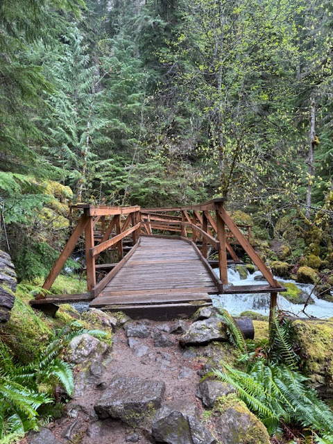
This trail took you across the road to start a short loop. I immediately noticed May wildflowers and stopped to snap photos. The couple went ahead of me, leaving me alone, but it was nice to think that someone wasn’t too far away.
I could hear the rushing water ahead and see the creek trickling over the rocks alongside the trail. A singular flower rose above the low ferns and moss-covered rocks; it’s stem straight as it carried the white petals. Trillium. Where I did not expect it to be. The second flower on my bucket list this year.

The bridge was built over the creek and from there the cascading waterfall- a plunge waterfall- appeared. The rain picked up- or the breeze carried the water- I wasn’t sure which. I stood there alone admiring the rock formation around it, increasingly getting drenched at the same time.


I followed the rest of the trail back to the road. As I was crossing to leave, others were just getting started.
3 miles east is the iconic Toketee Falls. I made the right turn, passed the trailhead, and wondered where the hot springs would be. It didn’t seem far on the map, but the forest service road psyched me out. I didn’t want to get stuck after our recent rain.
I turned around, briefly stopping to admire Toketee Lake. There was something about this kind of day- overcast and grey- that make the colors of the world come out in full force.

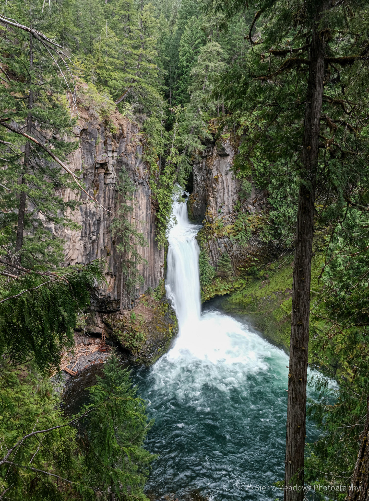
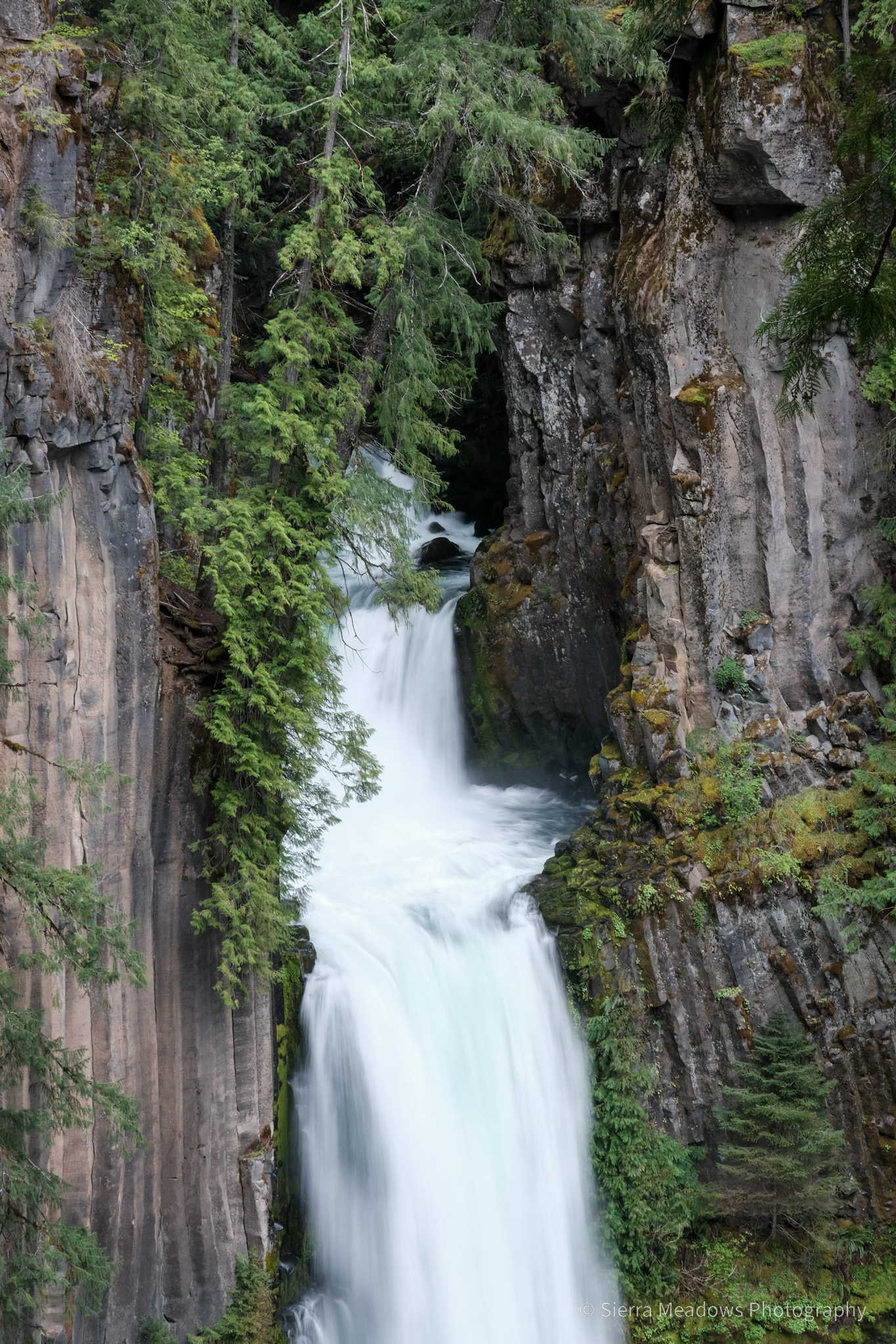
Waterfall #3
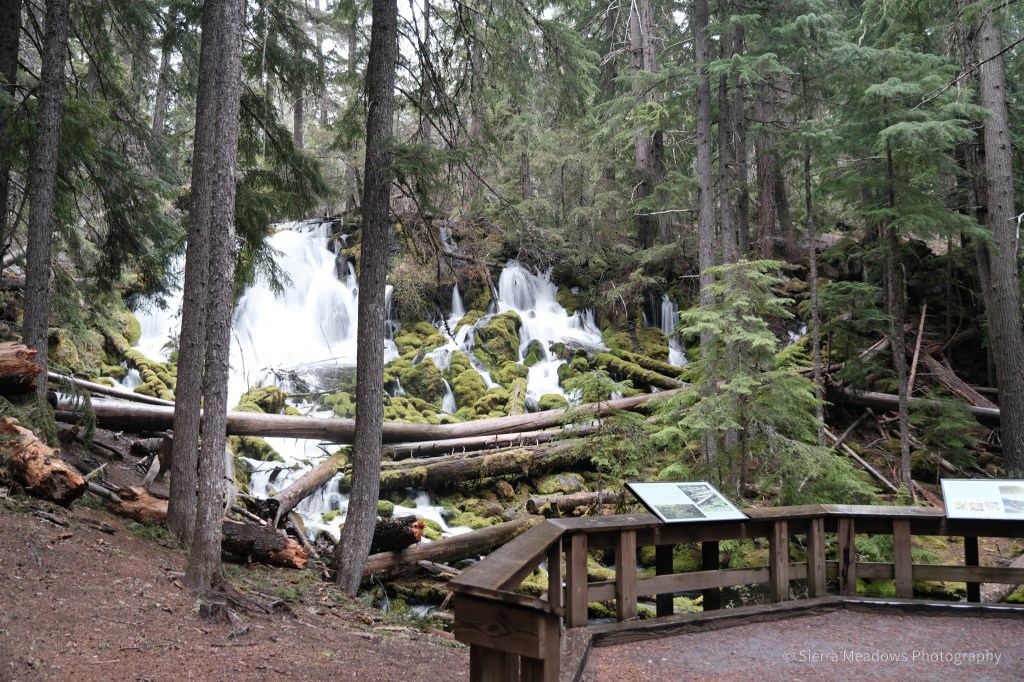
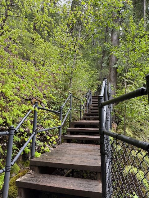
The trailhead had the right number of cars. Unlike the previous summer, I took my time. I read the trailhead sign, took too many wildflower photos, stopped at each overlook and side-trail.

The trail was short, less than a mile with staircases and guardrails to lessen the erosion of the area and provide safety for the visitors.
When I got to the overlook, a few people were waiting, but instead of crowding in and trying to get our picture with the waterfall, we were taking turns and giving each other time. Every instinct in me wanted to push, to push in, to leave, but I waited. This is why I wanted to do this solo.
This stretch of highway has around 15 waterfalls and I had over half the day left. Instead of trying to cram them in (and worry about my gas tank), I turned and headed back on the 138, the 230, and the 62 to Prospect, Oregon, a short stop on my way home.
From the highway, Prospect is a drive-thru blink of an eye. But in reality, it is a historic town home to three. waterfalls.
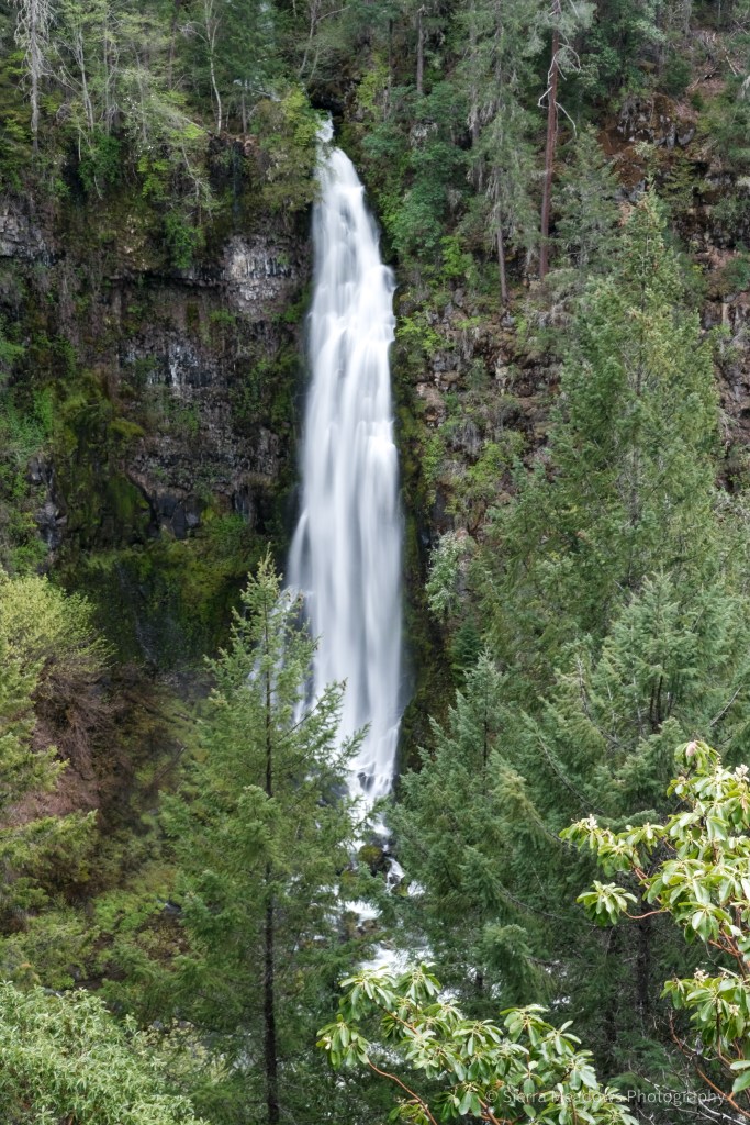
Waterfalls #4 & #5
At Mill Creek Falls Scenic Area, there is a gravel lot with a large wooden sign. The type of sign that tells you that you’re in the right place. An older man and his dog were sitting on the tailgate of his truck, resting. “It turned out to be a great day, didn’t it?” He said to me. “Yes, it did,” I said back to him. “Keep walking and you’ll find the path.”
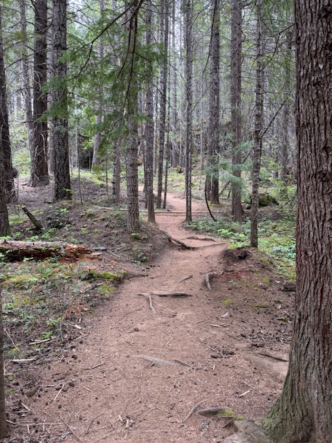
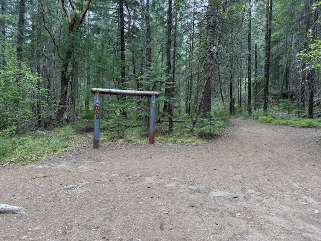
The dirt path descended from the parking lot. There wasn’t much indication of where to go, but there were only two options. I cut through the trees on an existing path. This sign helped.
Mill Creek Falls was off to the left of this and easily seen from the trail. To the right was Barr Creek Falls. (Barr Creek below)

I headed back the way I came, deciding against visiting Avenue of the Bolders and the third waterfall.
On the way up to the parking lot, I was greeted with more wildflowers- Trillium #2. I made the decision that this would be my last stop of my day.


~*~*~*~
Thanks for reading! I hope you, reader, are well!
C

Leave a reply to Tips for Getting the Most Out of Spring – The BLT Guidebook Cancel reply